Ongoing research
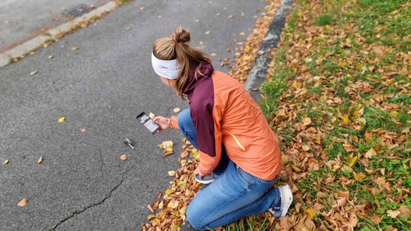
Watch out for hedgehogs! – Citizen science against roadkill in Lower Austria
Duration: 01.01.2026 - 31.12.2026
Road networks account for 47% of the sealed surface area in Lower Austria and thus represent a central component of the cultural landscape. On the one hand, roads are an indispensable foundation for our social life; on the other hand, they have significant impacts on biodiversity. Lower Austria leads the official statistics on wildlife-vehicle collisions in Austria. Nevertheless, comprehensive data are still lacking on animals that are road-killed but are not classified as game species. In the Citizen Science project “Roadkill” at BOKU University, more than 1,000 citizen scientists have been collecting data on road-killed vertebrates in Austria since 2013. Up to now, only presence data have been recorded. As part of the present project, this methodology is to be expanded by collecting presence–absence data through citizen scientists. The central question is: where are animals not being road-killed? The model organism used is the hedgehog genus (Erinaceus sp.). Public outreach campaigns will be conducted via the established social media channels of the project partners, as well as a drawing competition, evening lectures in rural communities, and, not least, events at the Museum of Lower Austria to raise public awareness. The insights gained will not only deepen the scientific understanding of the factors influencing hedgehog roadkills, but also provide an evidence-based foundation for planning and implementing targeted conservation measures. In the long term, the developed methodology is intended to be transferred to other animal species.
Animal roadkills in Austria between 2014-2021: associations between hotspots, land cover and road types based on citizen science.
(submitted as a manuscript to a scientific journal)
Road traffic poses a major threat to biodiversity, but the exact causes of roadkill – animals killed by vehicles – are still poorly understood, especially on a supraregional level. This study examines how different landscape types and road types influence the number of animals killed by vehicles in Austria. The focus is on seven frequently reported species: common toad, green toad, grass snake, brown hare, hedgehog, squirrel and blackbird.
The data comes from the citizen science project 'Roadkill', in which volunteers reported a total of 3,370 dead animals between 2014 and 2021. The surrounding area of each location within a radius of 250 metres was examined based on land use data (CORINE) and road data from OpenStreetMap.
The analysis shows that the probability of roadkill depends heavily on the animal species, the environment and the type of road. Agricultural land in the surrounding area increases the risk for five of the seven species. Urban areas, on the other hand, usually reduce the risk. Many dead animals were found on tertiary roads and pavements in particular. Primary link roads only led to an increased risk for hedgehogs.
The results show that different species are affected to varying degrees depending on their habitat and the type of road. Therefore, it is important to implement targeted measures that consider these differences in order to protect wild animals.
Habitat use and co-occurrence of badgers (Meles meles) and hedgehogs (E. europaeus & E. romanicus) in Vienna. A citizen science approach
(submitted as a manuscript to a scientific journal)
Some wild animals can adapt well to life in the city. In order to avoid conflicts with humans or pets, it is important to know where these animals are. However, traditional methods of animal observation often have limitations, as many properties are privately owned and cannot be entered.
This study therefore evaluated observations of hedgehogs (Erinaceus europaeus or E. roumanicus) and badgers (Meles meles) that were collected as part of two long-term citizen science projects in Vienna: Stadtwildtiere.at and Roadkill.at. Vienna has a population of around two million and covers an area of 415 km², approximately half of which consists of green spaces, including forests, parks, and private gardens.
Between 2012 and 2023, a total of 356 hedgehog sightings and 918 badger sightings were reported. Both species were mainly seen in areas where sealed surfaces (e.g. roads and buildings) were mixed with green spaces, such as meadows and shrubbery. Farmland, on the other hand, was mostly avoided – presumably either because these open areas offer less food, or because the animals are more difficult to spot there at night.
The influence of slope gradient is also interesting: the steeper the terrain, the fewer hedgehogs were sighted. With badgers, however, the opposite was true: in more built-up areas with over 15% sealed surface area, the number of badger sightings increased with increasing slope gradient. Notably, hedgehogs and badgers were rarely reported in the same area. This could indicate competition or different habitat requirements.
Conclusion: Citizen observations provide valuable data for a better understanding of the behaviour of wild animals in cities. This knowledge could help avoid conflicts and serve as a model for similar studies in other cities.
Comparison of roadkill from presence-only reports and regular monitoring in relation to the surrounding landscape influences
In the Roadkill project, citizen scientists use the Roadkill app or the project's online form to document random sightings of roadkill on Austria's roads. These reports provide valuable data for gaining an overview of the occurrence of roadkill. However, as these are random findings, they may not be representative of the entire region due to their uneven temporal and geographical distribution. In contrast, regular monitoring systematically covers specific areas and thus provides a more reliable basis for statistical evaluations.
Between July and October 2023, as part of the regular monitoring programme, a standardised survey was conducted: five 10-kilometre sections of road in Lower Austria were checked three times a week by bicycle. For each instance of roadkill, the date, time, coordinates, a photograph, the taxon, the number of animals and the mode of transport were recorded. Additionally, landscape mapping was carried out along all five sections of road within a 100-metre buffer zone. The surrounding landscape was analysed within a 100-metre radius around each documented roadkill. The study aims to investigate whether reports collected so far by citizen science regarding the landscape surrounding roadkill lead to comparable results to those of the systematically collected monitoring data.
The role of DNA analysis in identifying roadkill – differences between randomly and regularly collected data on selected routes in Lower Austria
As part of the Roadkill Project, citizen scientists collect data on vertebrate roadkill on Austria's roads. This data is particularly valuable as official agencies usually only document reports on species that are relevant to hunting. One of the study's aims was to determine whether blood samples collected at the roadside near roadkill are suitable for genetic species identification, particularly for species that are difficult to identify, small, or endangered.
As part of a non-invasive DNA sampling programme, blood samples were collected three times a week between 1 July and 31 October 2023 from fresh or dried blood in the immediate vicinity of roadkill on five 10 km stretches of road in Lower Austria. The focus was on animal species that are difficult to identify externally or enjoy special protection status. The samples were analysed in the laboratory of the Natural History Museum Vienna (NHM).
Inventory of rare/endangered/invasive wildlife species using citizen science, using the example of the European hamster in Lower Austria
Background: The European hamster is threatened with extinction throughout its entire range. Among other things, this is due to modern agriculture with predominantly monoculture fields. Various measures, or a combination of different measures, such as creating field margins, leaving crop strips in the fields, refraining from using poisons to control field mice, and regulating predators, are promising for the protection and conservation of this species. However, in order to protect the European hamster, it is essential to know where the animals are located.
This research investigated the effectiveness of mapping hamster populations based on sightings reported by members of the public on reporting platforms, in the spirit of citizen science projects.
Method: In the summer of 2023, 10 areas in Lower Austria where there had been reports of European hamsters from the citizen science projects roadkill.at or naturbeobachtung.at, as well as 10 other areas where European hamsters could potentially occur due to habitat conditions, were investigated with the help of a specially trained Border Terrier hamster tracking dog. All publicly accessible roads and paths within a 500-metre radius of the sighting locations in these areas were inspected. Inhabited hamster burrows were identified, and the land use of the plots within the radius was documented.
Hedgehog roadkill in Austria
Hedgehogs are among the animal species that are most frequently killed in road traffic accidents (Rondini & Doncaster, 2002). Data from the Roadkill App shows that they are the most frequently reported type of roadkill, accounting for almost 20% of all reports.
This study aims to answer the following questions: Where are the hotspots for hedgehog roadkill in Austria? What does the environment of these road sections look like, and to which land use category can it be assigned? In which months does hedgehog roadkill occur? Does this correspond to the increase in hedgehog roadkill in summer and in populated areas described in existing literature? What countermeasures could be suitable for reducing hedgehog roadkill?