Completed projects
GeRoKi: Genetic evidence and roadkill hotspot analysis of vertebrate species killed on selected roads in Lower Austria
- Duration: 2 May 2023 – 1 May 2024
Funding body: Province of Lower Austria
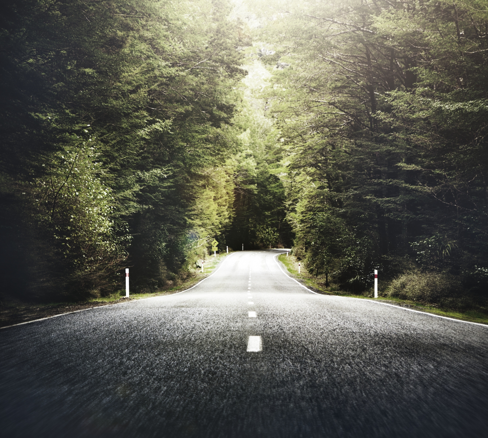
Our landscape is criss-crossed by roads, which often pose a danger to wild animals and result in the loss of their habitat. However, reliable data on the number of animals that regularly fall victim to road traffic is lacking in Austria, especially for species that are not hunted.
Since 2014, the Roadkill Project has been collecting roadkill data with the help of dedicated citizen scientists. However, two major challenges have emerged in the process.
- Reports are usually made randomly rather than systematically.
- It is often difficult to identify animal species from photographs.
This is precisely where the GeRoKi research project came in. The aim was to find out whether the data collected was sufficient to identify so-called roadkill hotspots – i.e. sections of road where a particularly large number of animals are killed – and whether the animal species could be clearly identified using DNA from blood residues on the asphalt.
Between July and October 2023, five road sections in Lower Austria were cycled three times a week. The researchers found 885 roadkill animals. In addition, citizen scientists reported 110 roadkills on the same routes. 166 blood samples were sent to the Natural History Museum in Vienna for genetic analysis.
The results are promising:
-
DNA samples obtained from either fresh or dried blood allow for a much more accurate identification of species than visual methods.
-
Hotspot analyses show that hotspot locations vary depending on the survey method used, but they usually reflect the habitat requirements of the species in question.
-
If used in a structured and supervised manner, citizen science has great potential for researching the effects of roads on biodiversity.
At the same time, monitoring by bicycle revealed practical challenges, e.g. in dealing with road traffic, which should be taken into account for future projects.
Conclusion: GeRoKi proves how valuable cooperation between science and society can be – not only to highlight species loss, but also to develop new methods for species conservation.
Scientific publishing with citizen scientists
- Duration: 2 February 2021 – 1 February 2023
- Funding body: Austrian Science Fund (FWF)
Science does not have to take place behind closed doors – it can be open, transparent and collaborative. This is precisely what we pursued with our innovative approach in the project "Scientific Publishing with Citizen Scientists".
Since 2014, dedicated citizen scientists have been collecting data on animals killed in road traffic as part of the Roadkill project. By 2021, over 800 citizen scientists had reported more than 13,000 animal finds – via app or via the website roadkill.at. This valuable data not only helped with species conservation, but also with the scientific analysis of the impact of roads on animals.
But we wanted to go one step further and enable citizen scientists not only to collect data, but also to participate in the entire scientific process, starting with the formulation of the research question. That is why we worked intensively on this project to greatly expand the opportunities for citizen scientists to participate in the project, and as a result, starting in spring 2022, it was be possible to:
- Ask research questions
- Report roadkill
- Check roadkill
- Analyse roadkill
- Publish openly
This so-called pre-print approach pursued three central goals:
- Timely feedback for citizen scientists
- Rapid dissemination of new findings
- Participation and involvement in the research process
This open exchange allowed new research questions to arise directly from the observations of citizen scientists. At the same time, it strengthened the scientific competence of the participants and promoted a culture of collaborative research.
Three time levels – one joint process
From this point onwards, collaboration with citizen scientists took place on three interrelated levels:
- Real-time data & tools:
Citizen scientists use current data from the Roadkill Project and simple analysis tools. This allows them to develop their own questions and identify initial distribution patterns. - Quarterly updates:
Every three months, we publish comprehensive analyses, for example on which species were reported particularly frequently, how many protected species were affected, or how active the citizen scientists were during this period. - Annual in-depth analyses:
Specific research questions were formulated together with citizen scientists. We then analysed, for example, the influence of road type or the surrounding landscape on the occurrence of roadkill.
Conclusion:
The pre-print approach opened up the scientific publication process in the project. This was not only innovative, but also an important step towards participatory, vibrant and future-oriented science.
AnimalProtect - Detection of impact corridors influencing animal accidents along road networks
- Duration: 1 September 2018 – 31 October 2020
- Funding body: Austrian Research Promotion Agency (FFG)
The AnimalProtect project had a clear goal: to identify accident risk zones for wild animals at an early stage in order to prevent collisions between vehicles and animals. Using remote sensing data and geographic information systems (GIS), the project team developed an innovative approach to predicting wildlife accidents – scientifically sound and practical.
The four central project objectives:
- Identification of relevant influencing factors
Specific factors influencing the risk of wildlife accidents were determined for twelve animal species, such as landscape structure, vegetation, road type and seasonal migration patterns. These factors were recorded in a heat map that showed their influence on a scale from -2 (risk-reducing) to +2 (risk-increasing). - Derivation of risk zones using remote sensing
Based on validated influencing factors and current remote sensing and GIS data, risk zones for wildlife accidents were calculated in four selected test regions. This resulted in a detailed picture of potentially dangerous road sections. - Calculation and validation of risk corridors
The calculated risk zones were compared with existing wildlife accident data and converted into so-called impact corridors – areas where animal movements overlap with the road network. The lack of absence data (i.e. areas without wildlife accidents) posed a challenge for statistical validation. - Development of a cloud-based service and an app
An online service was set up to provide current risk zones. This data was integrated into a demonstration app that showed users the risk of wildlife accidents for certain animal species along their route on a five-point scale.
Results
The project demonstrated that risk zones for wildlife accidents can be successfully modelled using modern technologies such as remote sensing and GIS. The app developed clearly demonstrated how this information can be used in practice to reduce the risk to humans and animals. Despite delays caused by the pandemic, the project results were disseminated among experts, in workshops and through media appearances.
Challenges and further needs
The COVID-19 pandemic made cooperation difficult at times, especially when it came to on-site appointments and events. It also became clear that systematic collection of absence data is necessary to further improve the validity of the models.
Conclusion
AnimalProtect has made a pioneering contribution to the protection of wild animals in road traffic. The project laid the foundation for more precise risk analyses, targeted protective measures and innovative applications – for example in navigation systems, traffic planning and environmental monitoring.